-40%
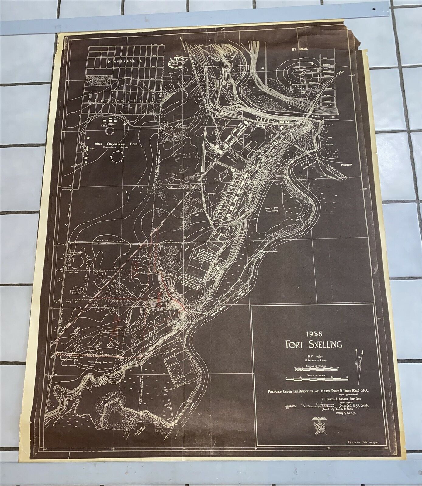
1935 Fort Snelling Minnesota map WWII 49" x 36" Revised Dec 19, 1941
$ 52.27
- Description
- Size Guide
Description
1935 Fort Snelling Minnesota map WWII 49" x 36" Revised Dec 19, 1941Revised Dec 10, 1941. I am sure that this was revised very quickly after Pearl Harbor attack, when all US military installations were on high alert, and bringing everything up to speed in almost every capacity.
Approx 49 1/4" by 36 1/2" overall(there is some unevenness to outside border), Without border image is 47 1/2" by 35 1/4"
Map has some tears(taped on back side to stabilize them), some longer ones off the top edge, small hole upper right area, and small scrape middle top area, chunk out of upper right of poster, edge roughness in areas, ,wrinkles and creases.
Overall has a good look, and a good part of the damage could be framed out.
Please email with any specific questions prior to bidding/buying.
Guaranteed Old & Original


