-40%
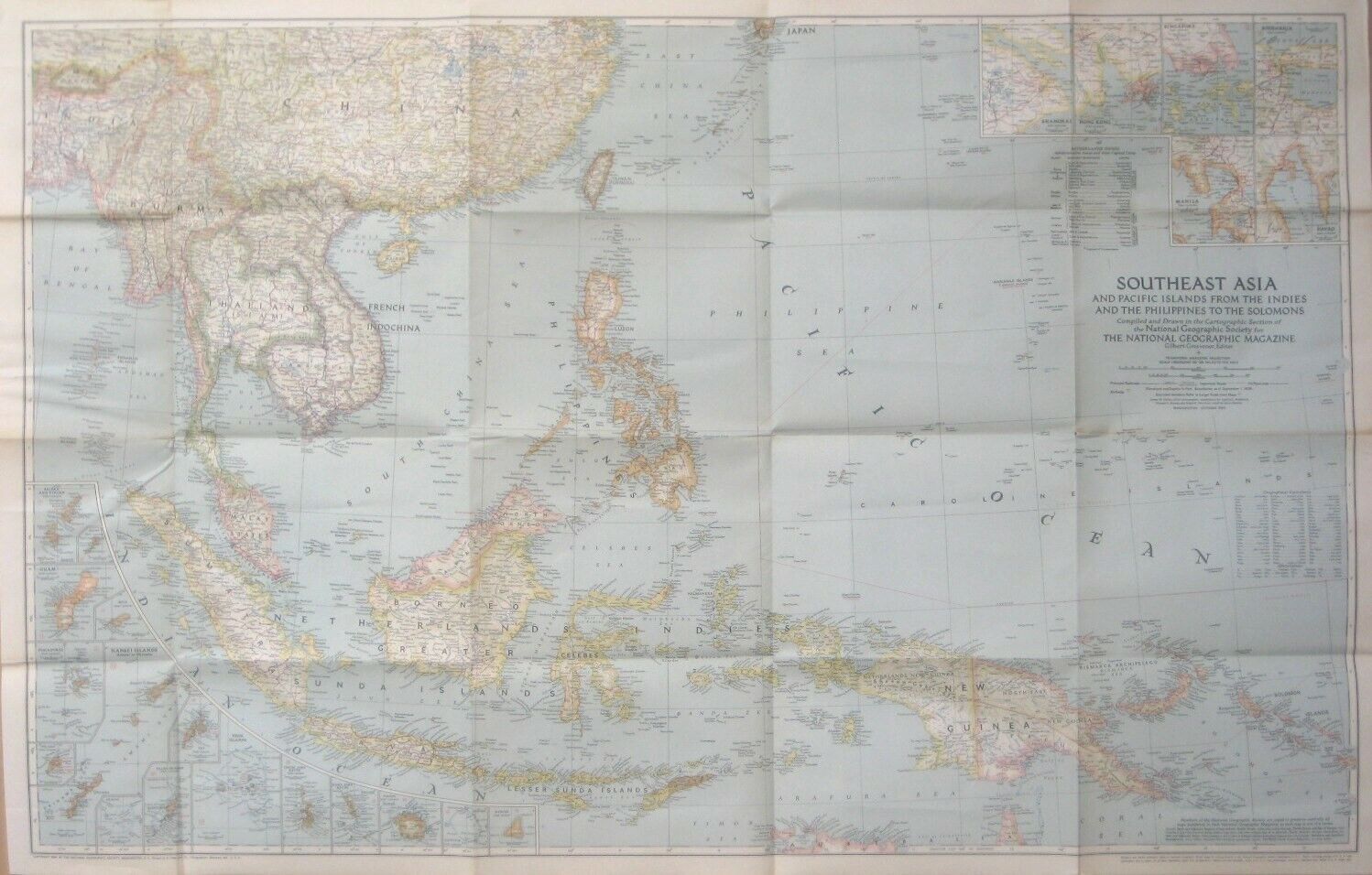
1944 WW2 Map SE ASIA Philippines Guam Borneo Singapore Hong Kong Siam Burma Truk
$ 10.55
- Description
- Size Guide
Description
Large-format fold-out 1944 map of Southeast Asia and the islands of the Pacific, from the Indies and the Philippines to the Solomons, printed during the Second World War, more than 75 years ago.This map opens to a generous 67 x 104 cm [26½" x 41"].
It is drawn on a scale of 1:8,000,000, or 126 miles to an inch, and has fine detail throughout.
The coverage area extends from the Himalayas to the Solomon Sea, including the Philippines, Taiwan (Formosa), Thailand (Siam), French Indo-China, New Guinea, Borneo, Sumatra, Java, Burma, the Malay Peninsula, Cambodia, the Coral Sea, Netherlands Indies, Caroline Islands, and southern China.
Numerous insets offer a closer look at individual islands and areas of interest, including Singapore, Hong Kong, the Nansei Islands (Amami to Okinawa), Eniwetok, Iwo Jima, Shanghai, and Manila.
There are insets of Saipan, Tinian, and Guam, sites of U.S. victories in the summer of 1944, as well as of the Truk Islands, Japan's main naval base in the South Pacific until it was turned into "the biggest graveyard of ships in the world" after the U.S. raid in early 1944.
This is an
original
National Geographic Society map, published as a supplement to the October 1944 issue of
National Geographic Magazine
— the same month U.S. troops landed on Leyte, beginning the liberation of the Philippines.
Condition:
This map is in very good condition, bright and clean, with
no
rips, tears, or writing. It is blank on the back, with no printing on the reverse side. Please see the scans and feel free to ask any questions.
It is an outstanding reference to Southeast Asia and the islands of the Pacific during the Second World War.
Buy with confidence! We are always happy to combine shipping on the purchase of multiple items — just make sure to pay for everything at one time, not individually.
Powered by SixBit's eCommerce Solution


