-40%
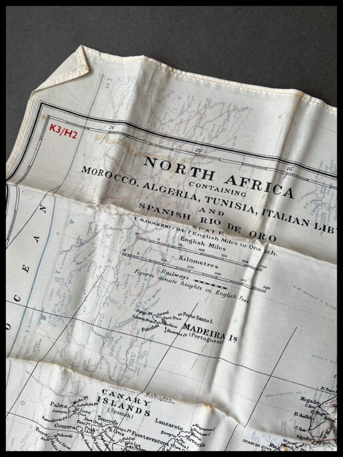
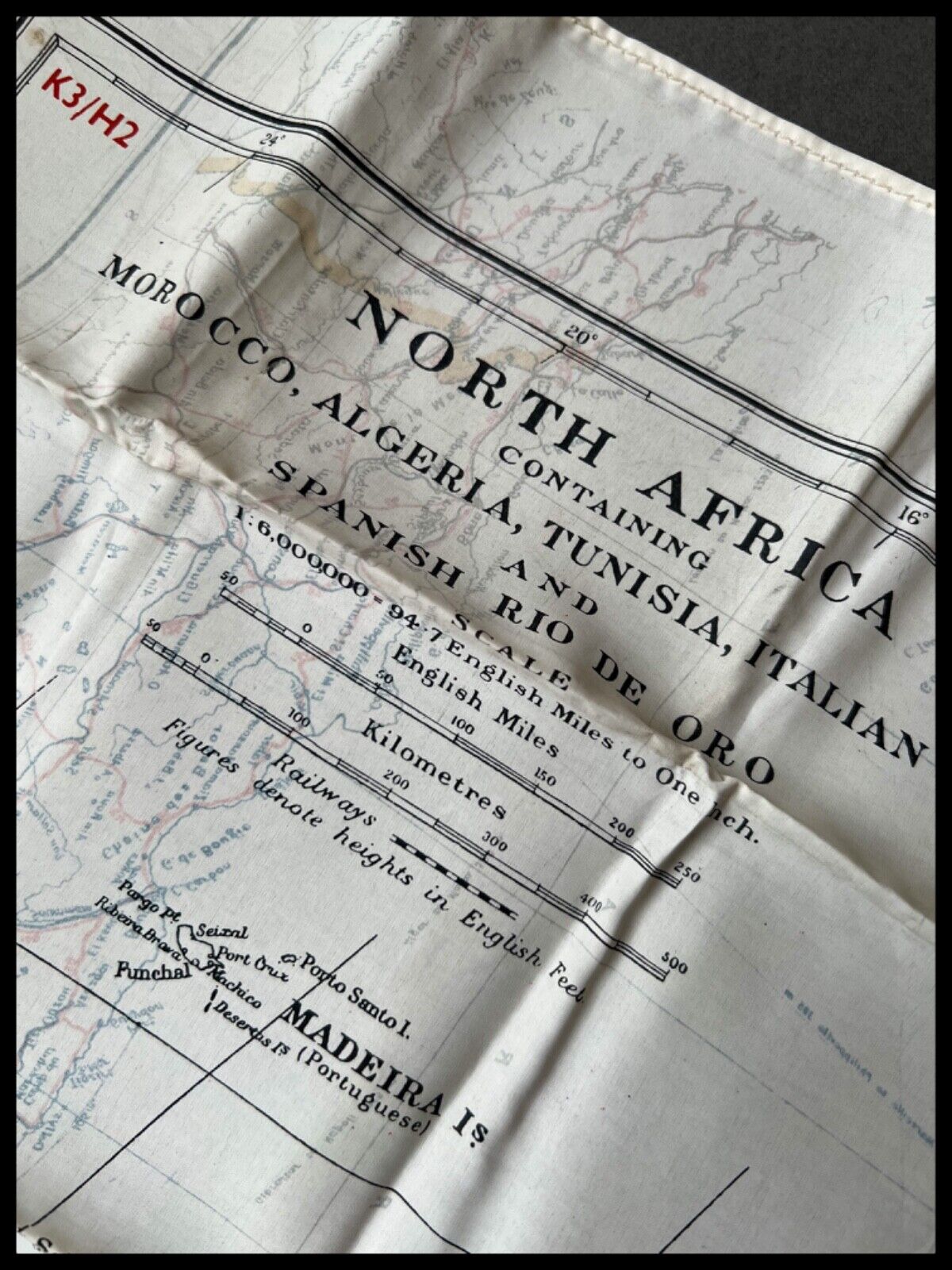
WWII ROYAL AIR FORCE PILOTS SILK ESCAPE EVASION MAP North Africa D-DAY 1944
$ 175.57
- Description
- Size Guide
Description
WWII ROYAL AIR FORCE PILOTS SILK ESCAPE EVASION MAP North Africa D-DAY 1944This product data sheet is originally written in English.
World War II
Royal Air Force Silk Escape and Evasion Map
Bartholomews Cloth Map
North west African Coast
&
Spain Portugal and Corsica
Original World War II Early Double Sided Silk Royal Air Force Pilots Escape Map.
Scale 1:6,000,000.
Map Sheet K3 and H2
Map sheet K3
features, the North Africa coast, and includes Morocco, Algeria, Tunisia, Italian Liberia,
and Spanish Rio De Ora.
Map Sheet H2 features, Spain Portugal and Corsica.
A nice original World War Two era, early silk double sided map, with hemmed edge, produced by MI9 from 1940 to 1942.
Printed onto rayon in three colours only, this map would have been issued to allied pilots and aircrews serving in the Royal Force, throughout the course of the World War Two and prior to D-day.
Genuine period original escape map, in very nice
condition
for it’s years, with very light signs of use, and wear only, p
lease see pictures for details.
Fast dispatch, expertly packaged, sent via a tracked courier service.
Royal Air Force Silk Escape and Evasion Map Original World War II Early Double Sided Silk Royal Air Force Pilots Escape Map. Map sheet K3 features, the North Africa coast, and includes Morocco, Algeria, Tunisia, Italian Liberia, and Spanish Rio De Ora. Map Sheet H2 features, Spain Portugal and Corsica. A nice original World War Two era, early silk double sided map, with hemmed edge, produced by MI9 from 1940 to 1942. Printed onto rayon in three colours only, this map would have been issued to allied pilots and aircrews serving in the Royal Force, throughout the course of the World War Two and prior to D-day. Genuine period original escape map, in very nice condition for it’s years, with very light signs of use, and wear only, please see pictures for details. Fast dispatch, expertly package
Country/ Organization
Great Britain
Map Sheet Ref
K3 / H2
Service
Air Force
Modified Item
No
Country/Region of Manufacture
United Kingdom
Theme
Militaria
Conflict
World War II (1939-1945)
Clothing Type
Map
Issued/ Not-Issued
Issued
Type
Documents & Maps
Map Type
Double Sided
Era
1914-1945


